Residents of Gauteng prepare for severe thunderstorms as weather warnings are issued for heavy rain, hail, and strong winds this weekend.
Image: Pexels
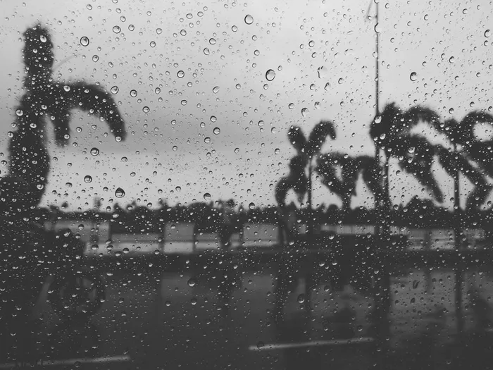
The country faces an unsettled stretch of weather from Thursday through the weekend, with thunderstorms and cooler conditions dominating the forecast for many regions.
Thursday afternoon and evening will see severe thunderstorms develop over the south-western parts of Gauteng, spreading into Limpopo and Mpumalanga.
The South African Weather Service has issued a yellow level 2 warning for these storms, warning of localised flooding on susceptible roads, damage to informal and formal structures, and possible power surges caused by lightning.
Rain chances are high during the late afternoon and evening, with a likelihood of heavy downpours, hail and strong winds in the affected provinces.
Friday will bring some relief, but showers will remain in play, especially in the Northern Cape around Upington and Vryburg, where there is a 30% chance of thundershowers.
Gauteng and the Free State are expected to stay partly cloudy and breezy, while cooler conditions will move into KwaZulu-Natal and the Eastern Cape. Cape Town will see strong south-westerly winds, keeping skies cloudy but largely dry.
Saturday will usher in another wave of unsettled weather as showers and thunderstorms spread more widely across the interior. The Free State, North West, Northern Cape and Eastern Cape are likely to see scattered activity with a 30% chance of rain.
KwaZulu-Natal and the Wild Coast can expect cool, wet and windy conditions, while Limpopo’s far north, including Musina and Polokwane, will remain mostly dry and warm.
Motorists and residents are urged to remain cautious through the weekend as thunderstorms could cause localised flooding, poor visibility and disruptions to travel.
IOL News